
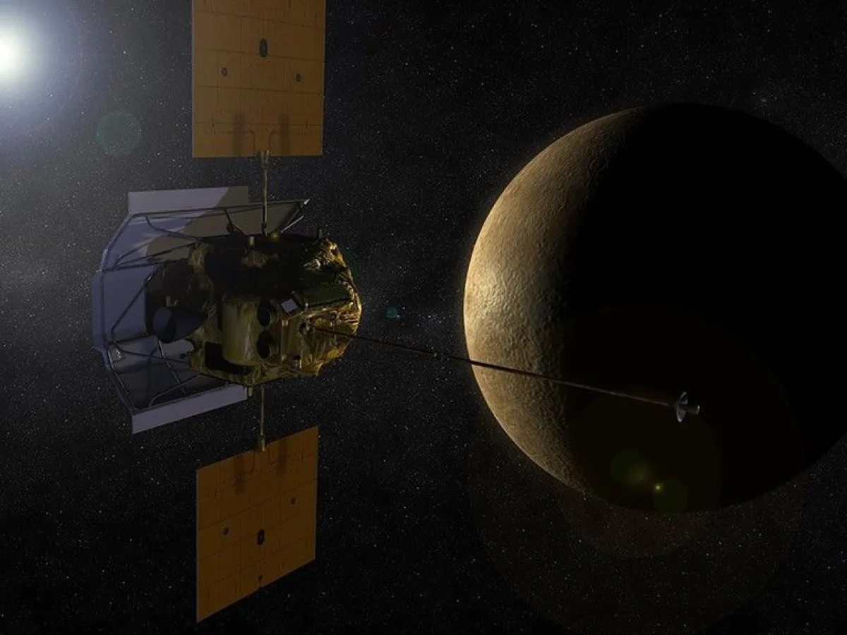
The MESSENGER Spacecraft: How We First Mapped Planet Mercury
Did you know that until very recently, humans had seen less than half of Mercury's surface? While we have detailed photos of distant galaxies, the closest planet to the Sun remained a blurry mystery for decades - this changed when a small, heat shielded machine called MESSENGER finally entered orbit to show us what this scorched rock actually looks like.
NASA designed this mission to answer questions that had puzzled astronomers since the 1970s. Before this, the Mariner 10 craft only flew past Mercury three times, leaving massive gaps in our maps. You are now living in the first era where we possess a complete, high resolution picture of every crater and ridge on that tiny, dense planet.
A Long Journey to the Smallest Planet
Getting to Mercury is much harder than you might think because the Sun's gravity tries to pull spacecraft into a fiery crash. MESSENGER launched on August 3, 2004 but it could not fly in a straight line. It performed a complex cosmic dance to slow down.
The craft used the gravity of multiple planets to adjust its speed and direction - this seven year trip included multiple loops around the inner solar system
- One flyby of Earth
- Two flybys of Venus
- Three flybys of Mercury itself
In March 2011, the engines fired to allow Mercury to capture the craft into an even orbit - this was the first time any human made object stayed long enough to watch the planet rotate beneath it. Engineers had to use a ceramic cloth sunshade to keep the electronics from melting in the intense heat.
Mapping an Entire New World
Once the spacecraft was in a stable path, it began the massive job of taking pictures. MESSENGER sent back over 150 000 images during its time in space - these photos are not just pretty pictures - they are data points that tell us about the minerals and shapes on the ground.
You can now look at a globe of Mercury and see every single feature clearly. Scientists stitched these thousands of photos together to create the first complete map of the surface - this map shows us that Mercury is not just a twin of our Moon but has its own unique personality.
The Tools That Saw Through the Dark
How do you measure the height of a mountain on a planet millions of miles away? The team used a piece of hardware called the Mercury Laser Altimeter (MLA) - this device shot laser pulses down to the surface and timed how long the light took to bounce back.
By doing this millions of times, the MLA built a 3D model of the area. It revealed deep craters at the poles where the sun never shines - these sensors are so precise they can detect small bumps and dips in the ground from hundreds of miles above.
Other instruments on the craft included
- Magnetometers to measure the magnetic field
- Spectrometers to identify chemical elements
- Cameras with color filters to highlight different types of rock

What the Surface Reveals About History
The data from MESSENGER changed how we think about how planets form. We found out that Mercury is shrinking as its core cools down, which creates giant cliffs that stretch for hundreds of miles - these "wrinkle ridges" show that the planet is physically getting smaller over time.
Researchers also found evidence of volcanic activity that lasted much longer than anyone expected. Large plains of smooth lava cover big parts of the northern hemisphere - these discoveries are only possible because you have sensors capable of looking at the chemical makeup of the dust and rocks from orbit.
The mission ended in 2015 when the craft ran out of fuel and crashed into the surface it had studied for years. Even though the machine is gone, the maps it created remain the gold standard for space agencies today. You can still access these images to explore the jagged valleys and bright craters of this hot, heavy world.
FAQ
When did MESSENGER reach Mercury?
The spacecraft arrived and entered orbit in March 2011 after traveling through space for nearly seven years.
How many images did the mission send back?
MESSENGER captured and transmitted over 150 000 images, which allowed scientists to map the entire surface for the first time.
Why was the Mercury Laser Altimeter important?
This tool used lasers to measure the distance between the craft and the ground, creating highly accurate 3D maps of the planet's mountains and craters.