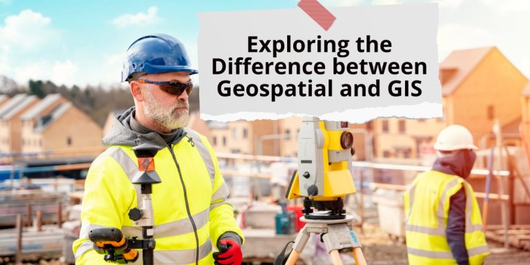
Exploring the Difference between Geospatial and GIS
In the realm of spatial data management and analysis, two terms often intermingle but hold distinct meanings: Geospatial and GIS. Understanding the nuances between these concepts is fundamental for professionals in various fields, from urban planning to environmental science. Let’s delve into the essence of each and explore their disparities.
Geospatial: Navigating the Spatial World
Geospatial pertains to data that is associated with a specific location on Earth’s surface. It encompasses a broad spectrum of information, including coordinates, addresses, postal codes, and more. Essentially, geospatial data adds a spatial context to conventional data, enabling deeper insights and informed decision-making.
Characteristics of Geospatial Data:
- Spatial Coordinates: Geospatial data is inherently tied to coordinates such as latitude and longitude, pinpointing exact locations on the Earth’s surface.
- Spatial Relationships: It facilitates the analysis of spatial relationships between various entities, such as proximity, adjacency, and connectivity.
- Earth Representation: Geospatial data can represent the Earth’s surface in different formats, including maps, satellite images, and 3D models.
GIS: Bridging Data and Geography
GIS, or Geographic Information System, is a comprehensive framework for capturing, storing, analyzing, and displaying geospatial data. It integrates various technologies and tools to manage spatial information effectively. GIS enables users to visualize data spatially, perform complex analyses, and derive meaningful interpretations.
Components of GIS:
- Data: GIS relies on a diverse range of spatial data sources, including maps, satellite imagery, aerial photographs, and survey data.
- Software: Specialized GIS software, such as ArcGIS, QGIS, and Google Earth, provides the necessary tools for data manipulation, analysis, and visualization.
- Hardware: GIS systems may require specific hardware components, such as GPS receivers, tablets, and computers, to capture and process spatial data.
- People: Skilled professionals, including GIS analysts, cartographers, and spatial planners, play a crucial role in leveraging GIS technology effectively.
Application of GIS:
- Urban Planning: GIS aids in urban planning by analyzing demographic trends, land use patterns, and infrastructure development.
- Environmental Management: GIS facilitates environmental monitoring, natural resource management, and conservation efforts through spatial analysis.
- Emergency Response: GIS enables rapid response and decision-making during emergencies, such as natural disasters and public health crises.
“GIS acts as a bridge between data and geography, empowering users to explore, analyze, and understand the spatial dimension of our world.”
Contrasting Geospatial and GIS:
While geospatial and GIS are interconnected, they differ in scope and functionality. Geospatial data serves as the foundation for GIS, providing the spatial context for analysis. On the other hand, GIS encompasses a broader framework that includes data management, analysis, and visualization tools.
| Aspect | Geospatial | GIS |
|---|---|---|
| Definition | Data associated with a specific location on Earth’s surface. | Comprehensive framework for capturing, storing, analyzing, and displaying geospatial data. |
| Focus | Spatial data and its spatial context. | Data management, analysis, and visualization. |
| Scope | Narrower scope, primarily focuses on spatial data. | Broader scope, includes data management, analysis, and visualization tools. |
| Usage | Foundational layer for GIS. | Utilized for spatial analysis, decision-making, and problem-solving. |
Conclusion
In conclusion, geospatial and GIS play indispensable roles in understanding the spatial dimension of our world. While geospatial data provides the spatial context, GIS serves as a comprehensive framework for managing, analyzing, and visualizing this data. By grasping the nuances between these concepts, professionals can harness the power of spatial information to address complex challenges and make informed decisions.
References:
- Longley, P. A., Goodchild, M. F., Maguire, D. J., & Rhind, D. W. (2015). Geographic Information Science & Systems. John Wiley & Sons.
- ESRI. (n.d.). What is GIS? Retrieved from https://www.esri.com/en-us/what-is-gis/overview
- Campbell, J. B. (2014). Introduction to Remote Sensing, Fifth Edition. Guilford Press.

